Contact Us
By email:
info@one-place-studies.org
By post:
Society for One-Place Studies,
7 Edge Lane,
Rossendale,
Lancashire
BB4 7SS
United Kingdom
This is a study of the historic parishes of Graveney and Goodnestone-next-Faversham in Kent, including some land that, historically, fell within Faversham Without, but forms an integral part of the village. The boundary is shown in Map 1, below. To a large extent, this follows the modern boundary of the civil parish of Graveney and Goodnestone, but extends eastwards along the coast up to and including the Sportsman Public House, This is now considered to be in Seasalter, but was included in the Graveney census enumeration from 1841 to 1921.
Graveney has been recorded as Grafen ea, Grafon eah and Gravonea. The name is thought to be of Old English derivation and relates to a stream running through a ditch or trench or to a low and watery situation2.
There are two Goodnestones in Kent and it is important not to confuse them. The Goodnestone within this study is much smaller than Goodnestone near Wingham. Earlier versions of the name include Godwinestone, Goodwinston and Guodwinestone. Guneston has also occasionally been used as a dialect alternative. The name is thought to have derived from the personal name Godwin as Godwin’s town or village.
Graveney was in the Hundred of Boughton under Blean, whilst Goodnestone and Faversham Without were in the Hundred of Faversham. Both were in the Deanery of Ospringe.
The study is located in North East Kent, close to the market town of Faversham and extending to the coast, between Seasalter and Faversham Creek.
Parish boundaries within the study area have changed repeatedly over time and, in addition, detached parts of Boughton under Blean and Faversham Without fell within the wider village area until the twentieth century.
Even in Saxon time the boundaries were complex, as can be seen in Map 2.
They are further complicated by the Graveney Manorial boundaries, which are difficult to accurately identify and not aligned with parish boundaries. Graveney Manor was a sub manor of Boughton under Blean Manor and held land both within and outside Graveney parish. The Tenant in Chief was the Archbishop of Canterbury, but land within the study area was also owned by Christchurch, Canterbury and by Faversham Abbey. Much of it was split up by bribes and gifts to powerful nobles and courtiers, but remained attached to either church or manor for administrative reasons4. This explains how Graveney came to be five scattered holdings5.
Despite some later attempts to simplify, detached pockets of land remained, as can be seen in Map 3, detailing the divisions at the time of the 1921 census.
Geologically, the land is made up of London clay, some brick earth, Thanet beds and chalk7. The landscape is mainly marsh and, until recently, mixed agricultural land.
The table below shows the population of the parishes of Graveney, Goodnestone and the part of Faversham Without included in the study over time.
| Year | 1841 | 1851 | 1861 | 1871 | 1881 | 1891 | 1901 | 1911 | 1921 |
|---|---|---|---|---|---|---|---|---|---|
| Graveney | 214 | 207 | 235 | 234 | 253 | 240 | 206 | 224 | 198 |
| Goodnestone | 60 | 69 | 78 | 55 | 80 | 78 | 74 | 55 | 55 |
| Faversham Without | 110 | 76 | 90 | 132 | 140 | 118 | 156 | 121 | 139 |
| Total | 384 | 352 | 403 | 421 | 473 | 436 | 436 | 400 | 392 |
The population of the current civil parish of Graveney with Goodnestone was:
From 1841 to 2021 the population of the UK has almost quadrupled8, whereas that of Graveney and Goodnestone has risen by less than third.
The area has been occupied since prehistoric times and the coastline has changed significantly over time. Mesolithic flint scatters have been found in Graveney and a hand axe in Goodnestone. These were on the higher ground, overlooking a possible water supply or hunting ground, which could have extended way out onto the mud flats as the post ice age sea level was lower at that time9.
Large amounts of Roman building material have been found on the foreshore and inter tidal area. As the coast has eroded by at least 2 miles, it is possible that there was a Roman building located there. Further inland, at Blacklands, a building complex, possibly a religious sanctuary, has been excavated10. There is even the suggestion of the typical shape of a Roman fort at Broom Street.
The oldest documentary record of this place relates to a “witanagemot”, or council, called by King Wihtred of Kent at Cilling. The place name has disappeared but it is thought to be at a location on the Creek upstream of Faversham, close to Nagden11. The name Graveney was first mentioned in 811AD where it is recorded in several charters of gifts of land from King Coenwulf of Mercia to Archbishop Wilfred of Canterbury12.
Maritime trade was important to this area in pre-conquest Kent. A clinker built ship was discovered inland from the current high water line, whilst marsh clay was being cleared from a drainage ditch. It has been dated to around 890 and was abandoned with its cargo of hops and quern stones around 95013.
The 1086 Domesday Book does not mention Goodnestone, but describes Graveney as:
In Boughton Hundred Richard also holds Graveney from the Archbishop. It answers for 1 sulung. Land for … In lordship 1 plough.
8 villagers with 10 smallholders have 2 ploughs.
5 slaves; meadow, 10 acres; 4 salt-houses at 4s.
Value before 1066 and later 100s; now £6; of these the monks of Canterbury have 20s.
Between 800 and 1100 rising sea level led to severe flooding along the coast. By 1340 a sea wall had been constructed and the marsh land “inned” – reclaimed with walls and drainage ditches – increasing agricultural land.
Little changed over the centuries and, in 1798, Edward Hasted described Graveney thus:
“There is but little thoroughfare here, and no village, the houses being interspersed straggling throughout it. Upon the whole, though unhealthy, it has not an unpleasant aspect, being well cloathed with trees, especially elm, which are very thriving here, and in great plenty; the roads are remarkably well taken care of, as are the poor, and the whole parish seems to thrive well under the care of the inhabitants of Graveney-court. There are some parts of this parish separated from the rest by those of Faversham and Goodneston intervening14.”
His description of Goodnestone was:
“It is a very small parish, lying on the north side of the high London road, at the 48th milestone, about half a mile’s distance from it. The village and church are situated in the middle of the parish, which does not extend more than half a mile from them each way. It lies low in a flat and open country, and from its nearness and exposure to the marshes, very unhealthy, the lands in it are exceeding rich and fertile, like those in the same trait in Faversham and Preston described before, the fields are very level, large, and but little encumbered with trees or hedge-rows, what trees there are elm, and there is no woodland14.”
Graveney and Goodnestone continued to be on the margins through the 19th and 20th centuries. For example, in 1838 the rioters involved in “Last Uprising of the Agricultural Labourers” at nearby Bossenden Woods gathered at Graveney, but soon moved on. And there are no records of any Graveney or Goodnestone residents joining them.
In 1860 the railway through Graveney opened, but no station was ever built.
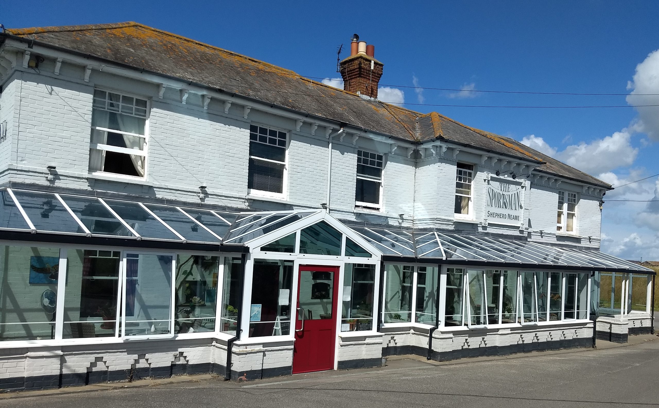
Despite the proximity to France, and the location on German bombers’ flight path, World War II damage was relatively light. Graveney does, however, stake a claim to being the location of the only armed conflict between German and British soldiers on English soil. It took place on 27th September 1940. A German Ju-88, involved in a battle with two Spitfires, crashed on the marshes. Members of the 1st Battalion London Irish Rifles were at the nearby Sportsman. As they approached, the German crew opened fire, but the Rifles returned fire from two sides and the airmen quickly surrendered.
Post war, the 1953 Great Flood inundated the marshes and improvements were then made to the sea wall, followed quickly by the installation of electricity in the village
In the past salt has been extracted from the sea and oysters and other shellfish have been farmed along the creek and shoreline. The remains of fish weir posts have been found on the coastal mud flats.
From the Napoleonic Wars well into the 19th century there was a Naval Blockade or Coastguard station at “Castle Coote” (now a bird sanctuary) and there is evidence of smuggling in the adjacent parishes, but no direct evidence of it in Graveney and Goodnestone. However, given how widespread it was, and the prevalence of remote, isolated buildings, it is extremely likely that at least some of the population were involved.
But the main economy of the area has been mixed agriculture, including livestock grazing on the marshes together with arable and fruit, including hops and cherries, on the richer soil further inland.
However, from 2023, centuries of bio-diverse, peaceful grazing land that had been designated a Ramsar Special Area of Conservation16 is being destroyed by the construction of a solar farm, “Project Fortress”, covering 900 acres. Every day, convoy after convoy of HGVs thunder through the village, blocking the narrow country lane and choking the air with diesel fumes. They carry the building materials to concrete over this ancient grazing land, forming the bases for 880 000 four metre high panels, which are east/west facing, blocking out far more light then the usual south facing type17.
The open, green landscape is being transformed into an industrial, shiny desert, surrounded by barbed wire and fences.
The next step is to install the largest batteries in the UK on a 25 acre site. These lithium-ion batteries have a poor track record for runaway fires leading to explosion. Should this occur the energy would be the equivalent of two small nuclear bombs18.
At the time of writing (May 2024) the safety plan is considered inadequate19 and has been rejected by Kent County Council, but it is understood that the site owners have appealed to the Secretary of State.
There are two Anglican churches, All Saints, Graveney and St Bartholomew’s, Goodnestone.
All Saints dates back to the 12th century. It is included in a list of churches owing money to Archbishop Lanfranc (1070-1089). The amount was 28d, a sum typical of churches with no dependant churches, and was the same amount as the church in the nearby town of Faversham.
There have been many additions and changes over the centuries, but the building retains some interesting early features. In 1925 Archdeacon Hardcastle recommended that the box pews were replaced, but fortunately the cost was prohibitive and so they remain today.
The brasses commemorate several members of interlinked families:
• Joan de Faversham and her son, John (1370)
• Robert Dodd or his son in law, Richard de Faversham (1381)
• Joan Botiller (1408)
• Thomas Burgeys (1452)
• Jacob Napleton (1625)
• Judge Martin and his wife Ann (1436), who built much of Graveney Court,
• Judge Martyn (1533)
St Bartholomew’s Goodnestone is also Norman but, reflecting the relative sizes of the two parishes, is much smaller than Graveney. In 1982 it was declared redundant.
Graveney has a village hall, where various events are held. Graveney Church is also open regularly for events such as Historical Weekend, Flower Show, Faversham Transport Weekend.
Local groups include the Women’s Institute and the Friends of Graveney Church.
Listed Buildings
There are several listed buildings in the area20:
Graveney
• All Saints Church
• Bridge Cottages No’s 1, 2 and 3
• Bridge House
• Post Office
• Four Horse Shoes
• Graveney Court
• Graveney Hill Farmhouse
• Headstone to Thomas Barman in Graveney Churchyard
• Murton Barn
• Murton’s Farmhouse
• Sandbanks Farmhouse
• Sparrow Court
Goodnestone
• Chest Tomb to the Stone Family in St Bartholomew’s Churchyard
• Goodnestone Court
• St Bartholomew’s Church
Faversham Without
• Homestall House
• Barn and Stables 30m south of Homestall House
School
With sea to the north and a tidal creek to the west, travel by water was important to this area. This discovery of the Graveney boat in 1970 provides evidence of its use as a port prior to the Norman Conquest.
There was mooring for a ferry at Nagden in the 16th and 17th century, also used to transport agricultural produce and, later, to import coal.
In 1860 the railway line between Faversham and Whitstable was opened cutting through Graveney,. In August 1883 a siding opened near the Hernhill border for goods. It was anticipated that this would be used to transport fruit and other produce. A petition for a proper passenger “halt” was unsuccessful and the siding was removed in the 1960s leaving Graveney with no station.
Graveney is bypassed by the major roads in the area and the only through road provides links to Faversham and Whitstable, the two nearest towns. There is a bus service through Graveney to both towns.
The earliest known named resident was a priest called Werherd who farmed in Graveney in 811AD23.
Although few famous people originate from or reside in Graveney and Goodnestone, a number of families have made it their long term home through multiple generations. Those whose family surnames occur in every census from 1841 to 1921 include Baker, Carpenter, Exton, Johncock, Knowler, Matson, Mears, Neame, Snoade and Wilkinson.
On-line
A digitised copy of one of the 9th century charters referencing Graveney can be seen on the British Library’s website:
https://www.bl.uk/manuscripts/Viewer.aspx?ref=cotton_ms_augustus_ii_10_f001r
Kent Archaeological Society has made most of their Transactions freely available online. A full version of Gordon Ward’s paper relating to Saxon boundaries can be found at:
Edward Hasted’s History of Kent volumes can be found online at:
https://www.british-history.ac.uk/search/series/survey-kent#google_vignette
YouTube video regarding the Graveney Boat:
https://youtu.be/c40J-nDAsjc?feature=shared
YouTube video of the destruction of Graveney Marshes:
https://youtu.be/lhkTGph-R2E?si=euBDiuG5lAvjrTV3
Printed
Evans, Angel Care and Fenwick, Valerie H. “The Graveney boat” in Antiquity, MV, 1971.
Fenwick, Valerie (ed) (1978) The Graveney Boat: National Maritime Museum, Greenwich, Archaeological Series No. 3, BAR British Series 53 British Archaeological Reports, Oxford.
Hasted, Edward 1798, History and Topographical Survey of the County of Kent, Volume VII. W, Bristow, Canterbury.
Hasted, Edward 1798, History and Topographical Survey of the County of Kent, Volume VI. W, Bristow, Canterbury,
Kaye, Steve 2015 “The Roman Invasion of Britain, AD43: The Riverine, Wading and Tidal Studies Place Limits on the Possible Locations of the Two-Day River Battle and Beached” in Archaeologica Cantiana Vol CXXVI, pp227-240.
Kent Archaeological Field School The Roman Religious Sanctuary at ‘Blacklands’, School Farm, Graveney Road, Faversham, Kent (2013).
Kent Archaeological Field School The Swale District: An Archaeological Survey March 2000.
Lawson, Terence and Killingray, David (eds) 2004, An Historical Atlas of Kent, Phillimore, Chichester.
Reid, Patricia; Harrington, Duncan and Frohnsdorff, Michael (2018) Faversham in the Making, The Early Years: The Ice Age until AD 1550 Oxbow Books, Oxford.
Ward, Gordon 1934 “The Topography of Some Saxon Charters Relating to the Faversham District” in Archaeologica Cantiana Vol XLVI,
Friends of Graveney Church
The Faversham Society
British Newspaper Archive
Census records 1841-1921
Archives held at:
• Canterbury Cathedral
• Kent History and Library Centre
• The National Archives
The author of this work retains all rights and must be credited when the material is displayed or shared. Any use of the material for commercial purposes requires the written consent of the author, as does any use of a significant portion of the material for purposes other than individual private research.
By email:
info@one-place-studies.org
By post:
Society for One-Place Studies,
7 Edge Lane,
Rossendale,
Lancashire
BB4 7SS
United Kingdom
© The Society for One-Place Studies