Rillington, North Yorkshire is divided into north and south sections by the A64 which runs from York to Scarborough and is located 5 miles north east of Malton.
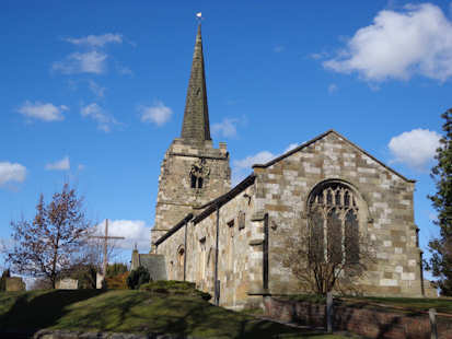
It is a parish that historically contained the township of Rillington and the chapelry of Scampston. It was in the Buckrose Wapentake and the East Riding of Yorkshire. Ecclesiastically, both were in the archdeaconry of the East Riding and the Diocese of York. It was mentioned in the Domesday Book in 1086 as Redlinton(e) and Renliton. There is a Norman Church dedicated to St Andrew. The village was and remains predominantly an agricultural community.
The Rillington One-Place Study started in 2004 and includes:
1381 – Assessment for Poll Tax
1672 – Hearth Tax
1536-1837 Parish Registers of Baptism, Marriage and Burial
1780 – Enclosure Award
1841-1911 Census Returns
1848 Tithe Map and Apportionment
1910 – Valuation Office Survey
1941-1943 National Farm Survey of England and Wales
Deeds
Ephemera: Billheads, Signs, Flags & more
Glebe Terriers
Heraldry
Newspaper Articles
Manorial Records
Maps: Ordnance Survey and Footpath
Monumental Inscriptions
Old Postcards
Trade Directories
Wills
An extensive ERY library.
My studies include the Higher Certificate and Diploma in Genealogy, IHGS Canterbury and the Advanced Diploma in Local History, University of Oxford. Most of my research for all these qualifications were based on Rillington.
Timeframe
Domesday to Present Day.
Iron Age Barrow Cemetery.
Population
Population in 1841: 800 in Rillington township and 1,051 including the chapelry of Scampston
Social Media Links
None specified
In-Depth Report
None specified
The Society for One-Place Studies is a leading organisation dedicated to supporting One-Placers worldwide.
We use cookies to ensure that we give you the best experience on our website. If you continue to use this site we will assume that you are happy with it.