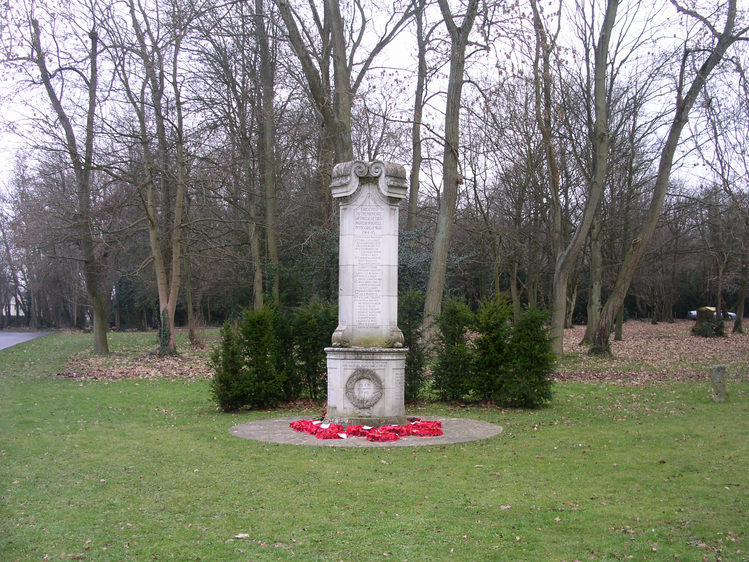
Photo of the Chesham Bois War Memorial with grass foreground and trees in the background

Country: England

Region (County/State / Province): Buckinghamshire

Website: None specified

Contact: Brian Horridge

Photo Credit: Member’s own photograph

Study Description 

Chesham Bois is an ancient parish and, until the early 1900s, was mainly a rural area sandwiched between Chesham and Amersham. It grew massively in the 20th Century – primarily due to the way this part of South Buckinghamshire became part of “Metroland” with the growth of the London Underground system. Nowadays it is blends quite closely with Amersham-on-the-Hill which has also developed in a similar way in the same timescales.

Chesham Bois initially had the River Chess as its northern boundary and included some of the water-cress beds and a lot of the terraced housing built for the railway workers. However, in 1934 the area around The Moor and between the River Chess and the Railway was transferred to the Chesham Urban District Council. The Parish is now mainly residential housing.

Timeframe

1900 Onwards

Population

1901: 790; 1911: 1,302; 1921: 1,797; 1939: 2,360

Social Media Links

None specified

In-Depth Report

None specified

The Society for One-Place Studies is a leading organisation dedicated to supporting One-Placers worldwide.


Facebook Page  Instagram  YouTube  Members only Facebook Group  BlaySky Page

Contact Us

By email:
info@one-place-studies.org

By post:
Society for One-Place Studies,
7 Edge Lane,
Rossendale,
Lancashire
BB4 7SS
United Kingdom

© The Society for One-Place Studies